Mapping
Drone Shift Mapping
In need of a high definition ortho mosaic for an upcoming project? we provide aerial mapping

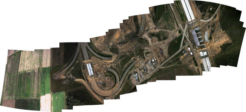
2D Orthomosaics
Drone Shift generates high resolution maps of specific areas to give a detailed measurement results for projects
Calculate the measurements of coordinates, distances, areas, cut/fill volumes and terrain elevations
You can track the progress of a jobsite in real time and compare to past visits
You can accurately measure and inspect without having to be on-site
Easily and safely manage on-site inventory
3D Modelling
Generating a 3D model creates an immersive experience when visualizing a particular project.
Construct a 3D model to transform a particular project into a digital asset
Zoom in and manoeuvre the model to pinpoint crucial elements
Easily share with your management team to aid decision making

For Your 2D Mapping or 3D Modeling Needs

