Drone Shift captures aerial data safely and easily with our 2D & 3D drone mapping solutions.
Accurately analyze and measure terrain elevations, area and linear distances. Calculate stockpile and pit volumes to get accurate estimates of on-site inventory. See progress visually by comparing multiple datasets/images over time
Inspections
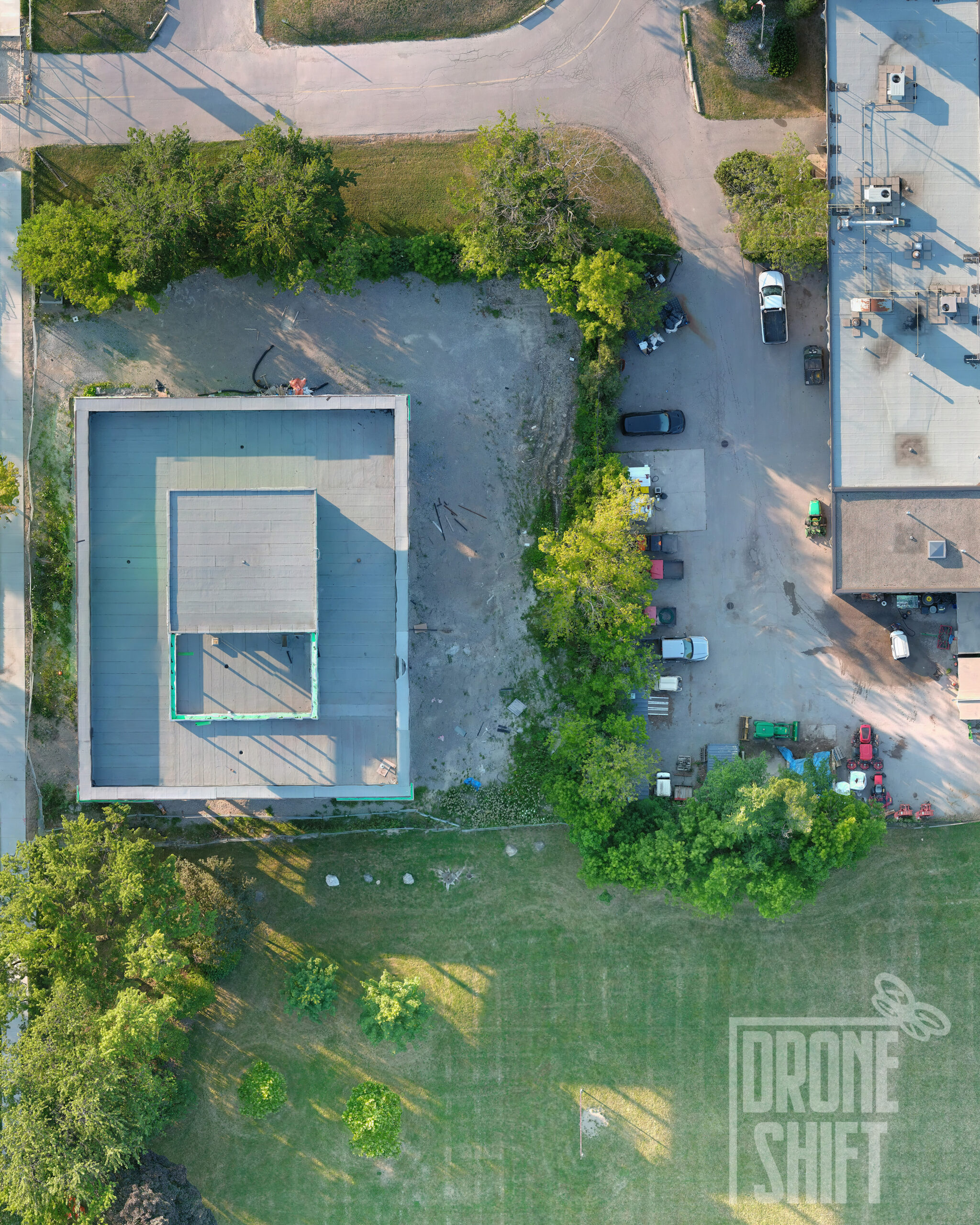
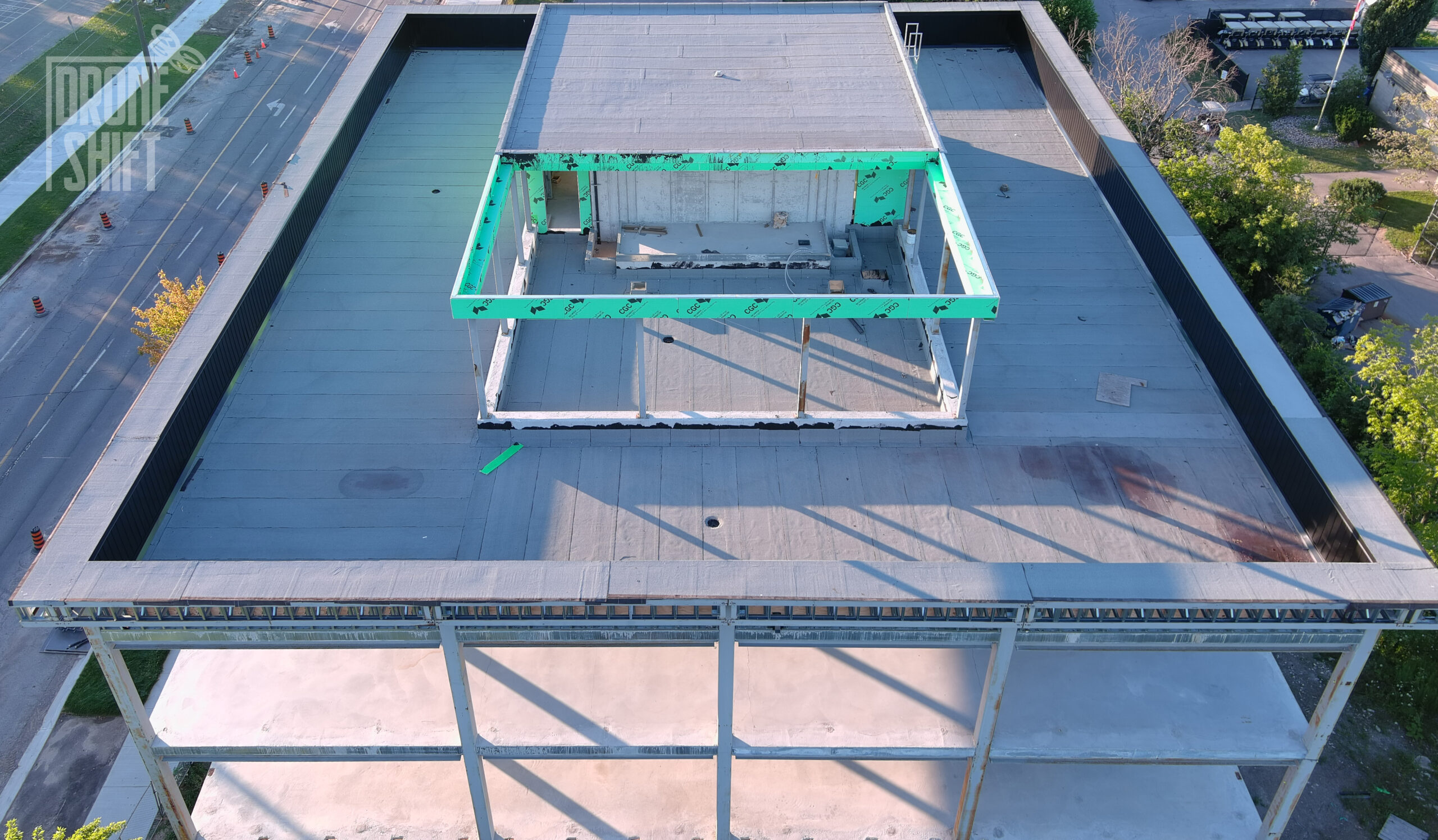
Drone Shift provides high resolution visuals
Quickly identify irregularities with high res visuals. Eliminate hazardous risks while conducting inspections in environments. Document images as evidence for code/rules compliance and accountability in the future.